Monterey County Colorado Fire Information Wrap Up

Monterey County Emergency Operations Center Colorado Fire Information Wrap Up January 24, 2022
Fire Status/Resources


CAL FIRE has created an incident page for the Colorado Fire:
https://www.fire.ca.gov/incidents/2022/1/21/colorado-fire/


The Monterey County Office of Emergency Services has created a 2022 Wildfire page which includes Colorado Fire, evacuation maps and fire notifications: https://www.co.monterey.ca.us/government/departments-a-h/administrative-office/office-of- emergency-services/2022-wildfires


Essential Services Access Tuesday, January 25th
Essential services will be allowed to access Big Sur between 12:00pm and 5:00pm Tuesday, January 25, 2022.
Law enforcement escorts will begin at the Traffic Control Points (TCP’s) at the north and south end of the closures on Highway 1.
Essential services including propane, fuel, water, sewer/septic, mail, waste/recycling and Big Sur Health Center staff with valid credentials.


Evacuations:
Evacuation orders issued on Friday, January 21 at 9:30 p.m. remain in place.
This includes all areas West of 3800 Palo Colorado Rd. to Highway 1 and South to Bixby Creek.
75 homes received evacuation notices. While there are an estimated 400-500 people in the area
under evacuation, it is estimated fewer than 100 left the area.


Road Closures:
Highway 1 is closed in both directions from Andrew Molera Park/Coast Road to Granite Canyon
Bridge. Stay up to date on road closures using Caltrans Quickmap http://quickmap.dot.ca.gov/
A reminder that Nacimiento-Fergusson Road near Big Sur remains closed to the public due to
damage from winter storms.

Health
Monterey County Environmental Health has provided a dumpster in the Big Sur area for spoiled food due to power outage and lack of waste service. The dumpster has been placed at the North Bound shoulder of Highway 1 and Pfeiffer Ridge Road.
The Monterey County Health Department issued a Boil Water Notice for those in the evacuation zones. This applies people whose water system has been impacted by fire due to damaged infrastructure or loss of pressure from power outage. Cal Am customers will not be affected by this notice.


An interactive map of Colorado Fire evacuation zones can be found at:
https://montereyco.maps.arcgis.com/apps/webappviewer/index.html?id=905a9458324b4868804 d96b5593eb978


Emergency Shelter:
The emergency shelter set up for evacuees closed today, Monday, January 24, at 7:00 am. Evacuees needing assistance should contact 2-1-1 for information and any additional assistance.
The SPCA of Monterey County continues to provide pet sheltering for evacuees and is currently housing 6 cats and 4 dogs.
###

Essential Services to and from Big Sur

CAL FIRE NEWS RELEASE
California Department of Forestry and Fire Protection
San Benito-Monterey Unit
CONTACT: San Benito/ RELEASE
Monterey Unit DATE: January 24, 2022
Essential Services To and From Big Sur
Monterey, CA – Essential services will be allowed to access Big Sur between 12:00pm and
5:00pm Tuesday, January 25, 2022.
Law enforcement escorts will begin at the Traffic Control Points (TCP’s) at the north and south end of the closures on Highway 1.
Essential services including propane, fuel, water, sewer/septic, mail, waste/recycling and Big Sur Health Center staff with valid credentials.

Colorado Fire, Day 4, 1/24/22

Finally, I was unable to be at home today, but instead was on the road all day, and tied up this evening, so my coverage of the fire has been spotty at best.

And the latest John Chesnut heat detection map to further clarify earlier heat maps:

This is tonight’s update. The agencies involved are working on the language for the road closure and evacuations, and we might hear something later tonight or at least by tomorrow morning, hopefully.

The fire has cooled considerably. NW corners still seems active. John Chesnut heat map:

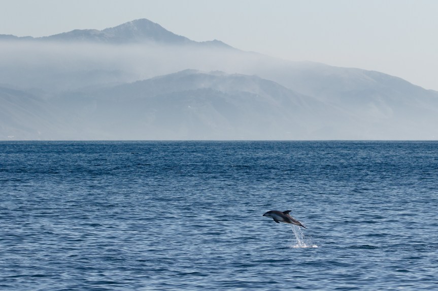
Today, I would like to start your day off with three very different “fire” photos. First are two of Tim Huntington’s Pacific White Sided Dolphins frolicking with the fire in the background. Then there is Martha Diehl’s capture of a helicopter’s water drop rainbow. Al three of these were taken yesterday. Thanks for a great start to the day!

More Colorado Fire photos, 1/23/22

These are also from the night the fire started from Clay Jackson under Bixby looking up at the ridge with the glass house. They are gorgeous!

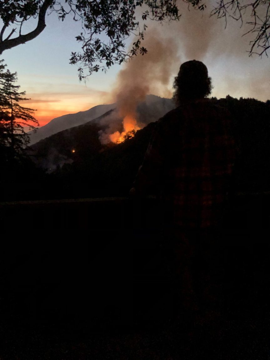
This first photo is from the night the fire started. This is from Green Ridge on Palo Colorado rd looking west, towards where the first started. This was taken at 8:44pm
– Beth Portesi, resident of Palo Colorado

I was too tired Friday to ge to it, and Saturday it got buried in my inbox, but it is such a good dramatic photo, I want to give everyone the chance to see it.

;

These first photos are by Mike Doig. He added short descriptions to some of them with which I will caption the photos.

On the east side, 4 planes worked it with 2 drops each
Hain’s pond where helicopters were filing up
Getting smoky
Last few retardant drops were closer to the ocean
South view, the fire camp on the left, Division Knoll in the middle. The helicopter has been working that second ridge. 
North looks pretty good

And here are Blain Vandenberg’s photos:

A lot less fire action at noon than at dawn. With all of the air support and hand crews it seems like this eastern ridge isn’t too far from being contained.
Many a pink strip on the hillside! 
We don’t have a view further down the Rocky Creek drainage, but did see the planes take quite a few low passes of retardant that way

Boil Water Notice and Water after a Wildfire Information

CAL AM NEVER LOST PRESSURE SO THIS NOTICE DOES NOT APPLY TO CAL AM CUSTOMERS.

BOIL YOUR WATER BEFORE USING

Failure to follow this advisory could result in stomach or intestinal illness.

Due to potential damage to your water system infrastructure from the fire and/or loss of pressure from a power outage, Monterey County Health Department is advising water system users to use boiled tap water or bottled water for drinking and cooking purposes as a safety precaution.

DO NOT DRINK THE WATER WITHOUT BOILING IT FIRST. Bring all water to a boil, let it boil for one (1) minute, and let it cool before using, or use bottled water. Boiled or bottled water should be used for drinking and food preparation until further notice.  Boiling kills bacteria and other organisms in the water.  [

This notice shall remain in place until it has been determined that your water supply is safe to drink.

For more information call:

Water System Contact               phone number

Monterey County Health Department – 831-755-4505

Please share this information with all the other people who drink this water, especially those who may not have received this notice directly. 

*******************************************

After a Wild Fire – Your Water Supply

Boil your water until you have completed an assessment, made any necessary repairs, and sample results show the water is absent for coliform.  If system lost pressure or repairs are made, complete disinfection process before testing.  See disinfection and boil water order instructions

Assessment:

For physical damage or a loss in pressure, perform a visual inspection of your well, spring, or surface water intake and all other pipes and appurtenances which work together to bring water into your household. The things you should be looking for include:

~Damage to electrical wires and connectors which supply power to your water system

~Damage to above ground PVC pipes used with the well to bring water to your home

~Damage to well houses and equipment such as chlorinators, filters, or controls

~Damage to sanitary seal or damage to surface water intake structure

~Damage to pressure tanks which could have been caused by exposure to excessive heat

~Damage to storage tanks, vents and overflow pipes

If any damage is found, you should contact the appropriate licensed contractor or

driller to repair the damage.

The water system should be disinfected, instructions available on MTYHD.org

OUT OF WATER- If you source is damaged or no power is available, but you have a usable storage tank, water can be hauled by a licensed vendor• https://www.cdph.ca.gov/Programs/CEH/DFDCS/CDPH%20Document%20Library/FDB/FoodSafetyProgram/Water/Water%20Hauler%20List%206-6-19.pdf

Plan for a storm event:

If your water clarity is affected by typical rain events, we advise the well to be turned off and surface water systems to​close or remove intake structure. This will prevent clogging and introduction of debris into the water system

Know your neighbor – Get to know neighboring water systems, plan on how neighboring water systems can help each other during an emergency. 

Create storage: create 5-10 days of water storage. While it may be difficult to do this alone, if neighboring systems join together it is possible.

What to expect of the surface water source after a storm event:

~Sediment – the first few storms will carry sediment loads up to 10 times normal

~Flow volume- Due to the loss of vegetation, the flows will be up to 2 times greater than before

~Flow Rate – The high sediment causes a smoother faster flow.  This quick speed can cause quick transfer of debris

~Ash- Ash can clog pipes and become a haven for breeding microbes, chlorine reacts with ash to form by products that are harmful.

~Changes in taste, color, odor- you may notice that your water tastes or smells earthy, smoky or burnt and you may need to thoroughly flush your water lines.

For more information, questions, or concerns please contact Environmental Health Bureau at (831)-755-4507

Colorado Fire, Day 3, 1/23/22

Sunday, January 23, 2022 11:50 AM
Dear Community,
Per Chief Harris, Big Sur Fire:
Highway 1 remains closed, and is anticipated to remain closed through Monday, January 24, 2022, with IC continually evaluating conditions and opportunities to restore access. Initial planning is for a convoy system for vendors and residents as early as Monday evening, January 24, 2022.
Given uncertain nature of conditions, Monday evening convoy is not to be relied upon, but by Tuesday, January 25, 2022, convoy(s) will hopefully be in place for mid day and early evening access. Additionally, strong push to re-open highway to the public as well, though convoy(s) at this time are intended initially for business/community re-supply/access purposes.
Overall fire conditions are improving and there are substantial resources assigned to this fire.
On power front, PG&E is expected to re-energize Big Sur area by 1:00 PM today.
Please note that while I am attributing above to Chief Harris, this is a summary of our phone conversation earlier today and any errors or misstatements are solely my responsibility.
Regards,
Kirk Gafill

10 am the airdrop started a few minutes ago.From Mike Doig

East side of Rocky Creek drainage, photo by Mike Doig
John Chesnut’s wonderful fire signature map

9:30 am — Aircraft beginning to arrive over the fire…

8 am — I get to start your day off with photos from last night and first light by Mike and Blain

From Mike Doig

Colorado Fire, much more active last night then we had hoped

And from Blain Vandenberg:

Unfortunately last night the fire jumped the line that everyone had worked on all day.
It’s smoldering slowly back on the east face of the slope.  Hoping that the planes are on their way this morning! 
Still feeling optimistic.
Picture from sunset last night and this morning. 

”This Coast, this Big Sur we all are so connected to in our hearts and in our blood-flow is a jewel of the elements; Earth, Air, Water, and Fire. She and we who inhabit her boundaries are touched deeply and fiercely by them, in nothing less than dramatic ways.
Our hearts are woven together as one family, now and always, through the tempermental shifts in fate and perspective this raw and wild relationship brings us.
When you stand and face the dawn, know you are not alone, but rather held, cradled by the spirits of all who have held on bravely to her cliffs.” Christian Van Allen (it was too beautiful not to share with this morning’s picture of the dawn.)

Photos, Colorado Fire

From Blain Vandenberg:

We live directly across from the Haines property and looked out the window yesterday evening to find the mountain looking like a volcano. And a racing east wind.

Plenty of spectacular visual drama last night and through today but feeling good watching all of the hand crews cut swiftly down the hill.
Fingers crossed the wind remains still. 
Many many thanks to everyone helping on this! 
Blain vandenberg 

And from Mike Doig, some of the airdrops at 2:45 pm

From Dale Collins driving home from work about 9 pm:

Colorado Fire, Day 2, 1/22/22

7:45 pm signing off early. And that will do it for my reports today, unless something really unusual happens. The winds are calm, and today firefighters made great progress. I have every confidence this fire will be short-lived.

Monterey County Emergency Operations Center Colorado Fire Information Wrap Up January 22, 2022


Fire Status/Resources

’CAL FIRE has created an incident page for the Colorado Fire:
https://www.fire.ca.gov/incidents/2022/1/21/colorado-fire/


The Monterey County Office of Emergency Services has created a 2022 Wildfire page which includes Colorado Fire, evacuation maps and fire notifications:
Evacuations:
https://www.co.monterey.ca.us/government/departments-a-h/administrative-office/office-of-
emergency-services/2022-wildfires#!/


On Friday, January 21st at 9:30 p.m., the Monterey County Sheriff’s Office issued a mandatory
Evacuation Order for all areas West of 3800 Palo Colorado Rd. to Highway 1 and South to
Bixby Creek. Approximately 75 homes were given evacuation notices. Although notified, many
who were contacted have decided not to leave and remain in evacuation zones.


Highway 1
Highway 1 is closed in both directions from Andrew Molera Park/Coast Road to Granite Canyon
Bridge. Stay up to date on road closures using Caltrans Quickmap http://quickmap.dot.ca.gov/


Emergency Shelter:
The American Red Cross set up an evacuation center Friday, January 21 at 11:30 at Carmel Middle School, 4380 Carmel Valley Road and provided assistance to two evacuees overnight. Current shelter count is 0.
The SPCA of Monterey County is providing pet sheltering for evacuees and currently housing 6 cats and 1 dog.
Carmel hotels are offering discounts to fire evacuees. Those needing to leave the fire area should check in at the Red Cross Shelter or call 211 for how to access this information. A valid ID with an address from the evacuation zone will be required.

#

An interactive map of Colorado Fire evacuation zones can be found at:
https://montereyco.maps.arcgis.com/apps/webappviewer/index.html?id=905a9458324b4868804 d96b5593eb978

New source for inifo:

https://www.fire.ca.gov/incidents/2022/1/21/colorado-fire/

9 am – Tanker inbound over FHL. Also tankers 73 and 86 out of Hemet on their way…whew.

From John Chesnut: Satellite overflight was at 2:50 AM LOCAL.

8:45 – one Cal Fire member reported unofficially that the fire is 5000 acres.

8:00 am — I have been searching for a size up, but the latest I have is from before midnight last night at 1500 acres. Fortunately,, the wind has died down. I am gathering info and will be back. In the mean time, here is a photo taken by the SJ Merc at dawn.

https://montereyco.maps.arcgis.com/apps/webappviewer/index.html?id=905a9458324b4868804d96b5593eb978&fbclid=IwAR0WPiT7Hsu2mB8mLF9hkA58n4KS_sJD6Tyo_orJYhhM6jwCGQVpFkeu3mk

Fire in Palo Colorado Canyon

11 on – On highway One looking south from Palo Colorado Canyon

10:30 Pm taken by Harmony d’Angelo:

10:15 pm —- Photo below From Deena Angelic. Info from a variety of sources, including the chp website. The fire has jumped the highway in this location near the rocky creek viaduct and is now burning on both sides of the highway. There is a hard closure at Rio Rd and at Andrew Molera.

Early reports are that it started at the Hains property behind the Mid Coast Fire Station and went into the vegetation and the winds are pushing it toward the coast One report: “Message from upper Greenridge. Large fire just started above the fire staton. Massive flames visible at the residence up their. I believe it’s the Hain Allen property. Heavy winds blowing offshore right now, so it’s moving towards the coast, but it’s blowing up big time and heading west.” Remember, early reports are not always accurate. But I have heard from at least 3 people it was at the Hains propery.

Here is a photo, but I don’t have a photographer’s name, yet.

Sounds like it’s pushing into Rocky Canyon, Bixby Canyon and Palo. Evacs on Bixby. Not looking good. Here is a photo from Long Ridge:

Highway One report as of 1/21

Date:Friday, January 21, 2022
District:05 – Santa Barbara, San Luis Obispo, Monterey, San Benito, and Santa Cruz Counties
Contact:Kevin Drabinski or Jim Shivers
Phone:(805) 549-3138 or (805) 549-3237

FOR IMMEDIATE RELEASE

EMERGENCY WORK ON HIGHWAY 1 TO END NEAR RAGGED POINT

AND BEGIN NORTH OF BIG CREEK VISTA POINT

MONTEREY COUNTY – Emergency work to repair damage caused by mid-December storms continues Highway 1 on the Big Sur coast.

Work on Highway 1 at Polar Star, one mile south of Ragged Point in San Luis Obispo County, will continue with traffic control and daytime delays of up to 15 minutes through Saturday January 22. Repairs at Polar Star are being made under a $1.8 million emergency contract with Souza Construction.

Emergency repair work will begin at Cow Cliffs in Monterey County (PM 28.2) on Monday January 24. Permanent repairs will be made to the rockfall netting which was impacted by the mid-December storms. This location is approximately one mile north of the Big Creek Vista Point.

Travelers can expect one-way reversing traffic control at Cow Cliffs, Monday thru Friday, between 7 am and 5 pm, with delays of up to 15 minutes beginning Monday January 24. Work at this location is expected to continue for three weeks, weather permitting.

Message and directional signs will be in place to alert travelers in the area.

The emergency repair work at Cow Cliffs (PM 28.2) is being accomplished under a $1.3 million emergency contract with Papich Construction.

Even with this weekday traffic control in place, Highway 1 remains fully accessible from the Monterey Peninsula, through Big Sur, and south to Cambria and Morro Bay.

*************************************************************************

HIGHWAY 1 NEAR GARRAPATA STATE PARK

SUBJECT TO TRAFFIC CONTROL NEXT WEEK

MONTEREY COUNTY – Travelers on north and southbound Highway 1 near Garrapata State Park (PM 66.5) will encounter one-way reversing traffic control next week.

Travelers will encounter one-way reversing traffic control on Highway 1 at Garrapata State Park on Monday Jan. 24, Wednesday Jan 26, and Thursday Jan 27, from 8:30 am to 2 pm.

Travelers can expect a delay of up to 5 minutes.

Message and directional signs will be in place to alert travelers.

Please allow extra time for your commute through the area.

With this traffic control in place, Caltrans maintenance teams will be able to clear slide material and debris from recent storms for the safety of all travelers.