Big Sur prepares for El Niño

There is a nice little video about 4 minutes long on KION featuring our Cal Trans worker Ray Ortega as well as Kirk Gafill of Nepenthe. I don’t post videos on my blog due to costs, and in this case, possible copyright infringement, but here is a link:

Big Sur Preps for El Nino

Often times these links only work for a few days, so look at it as soon as you can. Enjoy this very crisp, clear day. Frost advisories thru tomorrow morning. I woke to 38 degrees outside, and 52 in. Immediately built a fire, and now just trying to get warm!

Rain Report

My weather station reports .69″ for today. Got caught in a major downpour on the highway around 3:00. Dave Allen at the school told me their weather station reported .6″ during that 5 minute downpour, with a previous .3″ for a prior downpour.

Highway One in amazingly good shape today, as was Plaskett. Nice to be home. Yosemite is very beautiful, but so is home. Also, my dogs are here. 😘 Did have an amazing dinner, on the recommendation of Dan Danbom, at the Groveland Hotel. It is 160 year old Adobe. The most extensive wine list I have ever seen – a huge book of selections.

RAIN – it is finally here

It started down here before 6 am, and by 7 am it was raining cats ‘n dogs. By 7:30 am, I have had 1/2″ of rain, with no immediate end in sight. There are multiple problems on the roads in Monterey and Santa Cruz Counties – 23 at last count. Trees are down, there is one mudslide in the Gilroy/Hollister area, and many, many traffic accidents. The winds are really beginning to howl … Enough to frighten the dogs and lend an eeriness to the sounds of the storm, gusting to 27mph.  If you must be out and about, do so with care, and report any concerns in the comments below, as I will be turning off the satellite internet for much of the day, and using the less-reliable cell. Satellite and wifi drain my solar system too much on a day without sun. Enjoy our first REAL storm of the season, but be aware of conditions.

8:00 am – via SLOStringer – #Breaking – Bluebird Inn in Cambria, large tree down onto at least 4 vehicles, reports of parties trapped. Emergency crews enroute. 8:00AM

10:00 am – Highway 101 NB at Cochrane in Gilroy is flooded, Lane 1, with one foot of water.

11:00 am – 2″ at Rocky Creek, 1 and 1/2″ at Garrapata, over 1″ here. Making its way north to south. Roads will be a mess. Take good care.

1:00 pm – rain stopped an hour ago or so, and there are scattered clouds, partial blue sky, and shadows on the ground.

Lightning

I don’t know what the weather reports are, but I can tell you what I am seeing – and that is lightning. It is SSE of here on the other side of Willow somewhere. Can’t hear any thunder, so it is not close, but probably SLO Co or further south. That means the possibility of down strikes, which means possible wildfires. Keep an eye out, where ever you are. Fire season is not over until it’s over. And those lightning strikes could be headed our way. I’ll be keeping an eye out for a bit longer, but gotta get moving a tad earlier than usual tomorrow.

URGENT WEATHER ADVISORY

image

This radar is from 3:45

SPECIAL WEATHER STATEMENT
NATIONAL WEATHER SERVICE SAN FRANCISCO CA
320 PM PDT WED OCT 14 2015

CAZ517-530-142245-
SANTA LUCIA MOUNTAINS AND LOS PADRES NATIONAL FOREST CA- SOUTHERN MONTEREY BAY AND BIG SUR COAST CA-
320 PM PDT WED OCT 14 2015

..SIGNIFICANT WEATHER ADVISORY FOR SOUTHWESTERN MONTEREY COUNTY UNTIL 345 PM PDT…

AT 317 PM PDT…DOPPLER RADAR WAS TRACKING A STRONG THUNDERSTORM 7 MILES EAST OF GORDA…MOVING NORTHWEST AT 35 MPH.

DIME SIZE HAIL AND WINDS IN EXCESS OF 40 MPH WILL BE POSSIBLE WITH THIS STORM.

LOCATIONS IMPACTED INCLUDE… FORT HUNTER LIGGET……JULIA PFEIFFER BURNS STATE PARK…LIMEKILN STATE PARK…ESALEN INSTITUTE…KIRK CREEK CAMPGROUND-LOS PADRES NATIONAL FOREST AND PLASKETT CREEK CAMPGROUND.

PRECAUTIONARY/PREPAREDNESS ACTIONS…

TORRENTIAL RAINFALL IS ALSO OCCURRING WITH THIS STORM…AND MAY LEAD TO FLASH FLOODING. DO NOT DRIVE YOUR VEHICLE THROUGH FLOODED ROADWAYS.

FREQUENT CLOUD TO GROUND LIGHTNING IS OCCURRING WITH THIS STORM.
LIGHTNING CAN STRIKE 15 MILES AWAY FROM A THUNDERSTORM. SEEK A SAFE SHELTER INSIDE A BUILDING OR VEHICLE

I zm hearing reports of thunder, lightning and hail from Gorda north! I, personally am in Monterey for a VA appt. Won’t be home for another two more hours.

NOAA Experimental Predictions, end of Oct/beginning of Nov

image
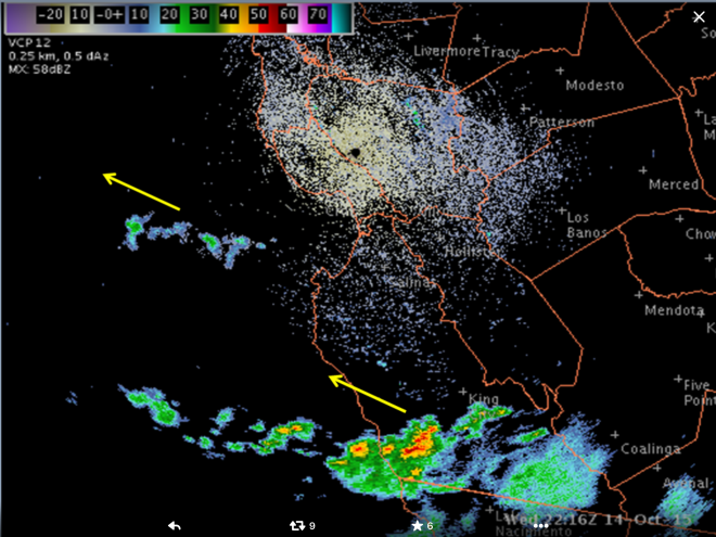
First, above, this week. And below, later. I think the key word is “experimental.” So don’t get too excited, yet.

image

El Niño Journal – Jan 9, 1998

“Friday, January 9th – Obviously, I haven’t written much this week. This morning I have an hour before I have to lave for the Big Sur multi-Agency Advisory Council meeting at 10 am. There is a storm here today and [Rock Knocker] has told me I CANT drive Highway One in the rain, in the dark.

The meeting is expected to go until 1:30, but the agenda is PACKED with some very controversial issues, so I can’t imagine it will finish on time. I will have to leave by 2pm or I won’t be able to get to [town and then back to] the dirt by dark. [during meeting] Currently, the Pt. Sur naval facility is involving more time than I thought it would involve. Most of this large audience – the largest I’ve ever seen – is here for the Short Term Rental Ordinance. [ed. Note – somethings never change.]”

El Niño Journal – Jan 4,1998

“Sunday, Jan 4th – 1.7″ last night and it’s still raining today. Lots of wind at the moment.”

Didnt have any weather watching/recording equipment back then, except a couple plastic rain gauges. I did keep track on my calendar of how much rain I got each day and night, as well as the total to-date for the season. I kept them all, too…I just have to find them!